When Google Earth was released in 2005, I thought that it would be interesting to see if I could locate all the places that I lived over the past 50 years (1955-2005). I collected snapshots of satellite pictures of the places that I resided and schools that I attended as kid. Six years later I finally got around to putting it all together in a presentation that documents these shots. In each of the shots the pictures are oriented facing the front of the structure. On most of the pictures there is compass rose showing the orientation of the map.
This covers the first four years that I lived in the Houston metropolitan area. This was from 1973 to 1977.
Nassau Bay, Texas (1973-1974)

After I graduated from high school in 1973, we left the Spring Branch area of Houston and moved to Nassau Bay, a small community situated on a bayou across Nasa Road One from the Johnson Space Center. My dad worked for the Space Center Memorial Hospital a few blocks away and we lived on Caprice lane in the smallest house in a town where a lot of astronauts lived. I remember one-night meeting Buzz Aldrin, the second man on the moon.
Friendswood, Texas (1974-1975)
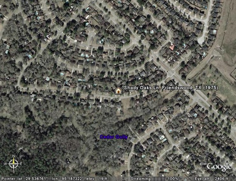
In 1975 when the Space Center Memorial Hospital went belly-up, we could no longer live in Nassau Bay and moved southwest of there to a community near Friendswood, Texas. Friendswood is in Galveston county and this tract was just over the county line in Harris county. I only lived here for a few months and moved out on my own for the first time to share an apartment with a friend in Webster, Texas.
Webster, Texas (1975-1976)
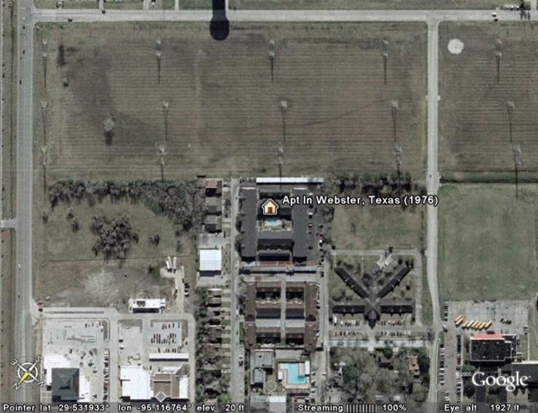
In 1975 my girlfriend & I had broken up and things were not going well at home. So, I left my parents’ home and move into an apartment in Webster, Texas. Webster is a small town just off the Gulf freeway (I-45) and was un-officially the gateway to the Johnson Manned Space Craft Center (NASA). When the astronauts landed on the moon and said, “Houston we have landed” perhaps they should have said “Webster we have landed”. On the left of the picture is Old Galveston Hwy. Southeast is in the upper part of the picture so if you were to follow that up it leads to Texas City and eventually to the bridge to the island at Galveston bay. Those strange looking “trees” in the upper part of the picture are high tension power lines.
